1. Home
  2. Water Measurements Lakes and Reservoirs
  3. Tuz 1 (000110)

search
Water Level Storage and Status Reference Track Geoid Profile Nearby Targets
arrow_right
  • Anthropogenic effects
  • Desiccated
  • Complex region
Download Time Series
Time Series Plot
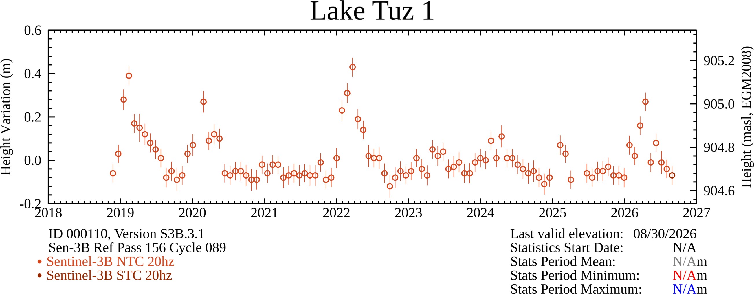
Shown above are relative lake height variations computed from various radar altimetry data sets, the 21-day resolution (SWOT-nadir altimeter), the 27-day resolution (Sentinel-3A, Sentinel-3B), and the 35-day resolution (ERS-1, ERS-2, ENVISAT, SARAL). These relative variations are with respect to a datum that is based on a single fly-over date. The equivalent water elevation with respect to mean sea level (msl based on WGS84/EGM2008) is also provided. Near real time observations are providing by SWOT and Sentinel-3A,-3B. The top graph are the processed results available for download. The bottom graph is a smoothed/filtered representation for general observation only. Open circle symbols in the top graph are potentially indicative of calm or frozen surface water. An additional square box highlights the typical freeze period based on general reports.
10-day
Monthly
Long term
≥4 σ
3 σ
2 σ
1 σ
-1 σ
-2 σ
-3 σ
≤ -4 σ
Key:

Colors show that the current water level is within a set number of deviations from the mean baseline elevation.

The baselines are associated with the 10day, monthly, or long-term averages.

A white color or white symbol indicates the baseline could not be calculated.

Reservoir uses
Not available
Approximate period of Surface Ice: N/A
Approximate reservoir formation year: N/A
Status Indicator Advisories: N/A
10day-to-10day Comparison
10day-to-10day Comparison Unavailable
Month-to-Month Comparison
Month-to-Month Comparison Unavailable
Relative Storage Variations
Relative Storage Variations Unavailable
Absolute Storage Variations
Absolute Storage Variations Unavailable

Components
Water Level MODIS Water Mask Water Extent Hypsometry Bathymetry-1 Bathymetry-2
Water Level Plot
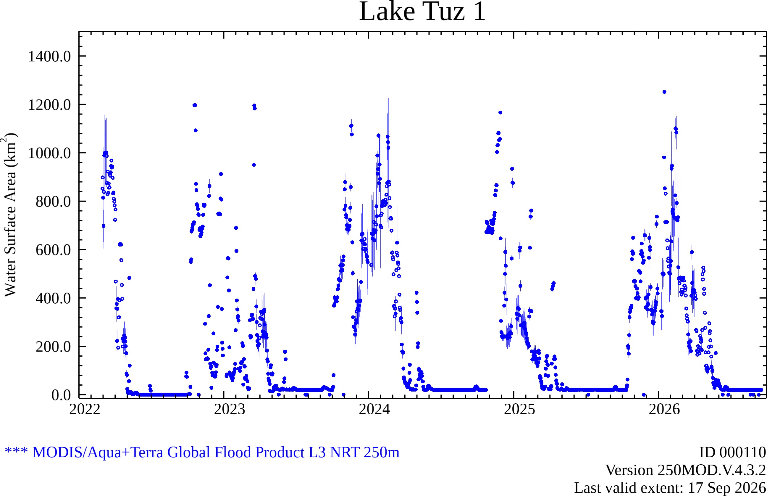
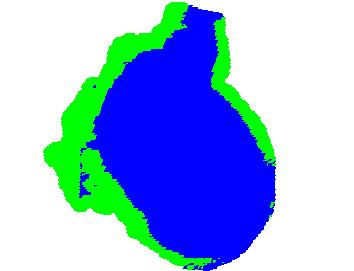
MODIS Water Mask Plot
Water Extent Plot
Hypsometry Unavailable
Bathymetry-1 Unavailable
Bathymetry-2 Unavailable
Geoid Profile Plot
NASA Official: Charon Birkett Product Manager: Martina Ricko Technical Webmaster: Xu Yang Privacy Policy and Important Notices